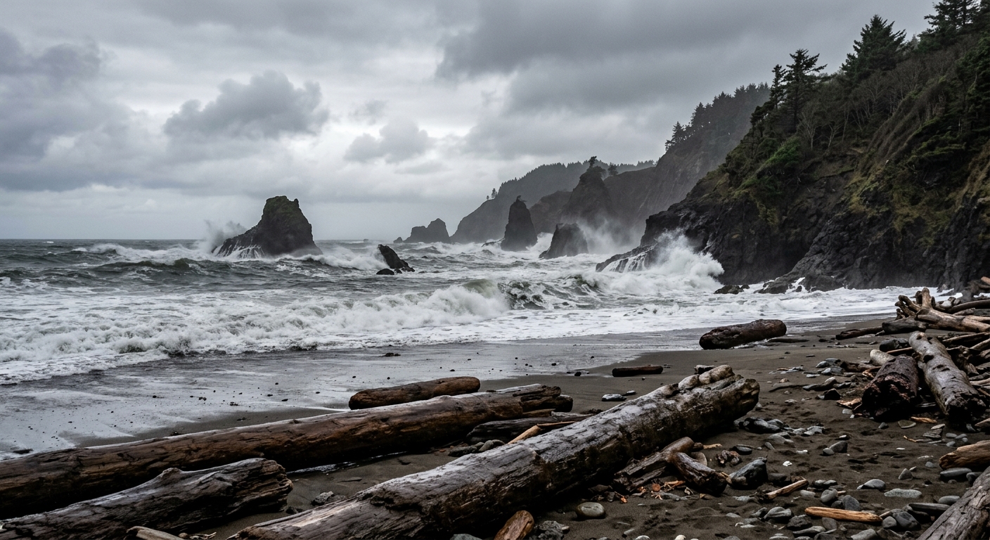
AI-generated illustration; not a photograph of the reported event.
- calendar_today November 20, 2026
National Weather Service Issues Caution for Oregon Coast Surf
The Oregon coast is experiencing another period of dangerous surf conditions through Sunday, with risks heightened for sneaker waves and high surf. Although not as severe as recent events, the National Weather Service (NWS) urges beachgoers to remain cautious and avoid rocks, logs, and jetties near the waterline. This period of increased hazard is expected to persist until Sunday, November 22.
Sneaker Wave Risks Remain Elevated
According to the NWS, high surf conditions have eased, but a moderate to high threat of sneaker waves continues. Long-period swells, especially south of Reedsport, contribute to the unpredictability of ocean behavior. Those visiting the coast are warned to never turn their backs on the ocean and to exercise extra care close to the shore. King tides, occurring November 23–27, could further amplify these risks if large swells coincide during this window.
Wave Heights and Ocean Swell Forecast
North Oregon Coast
On the north Oregon coast, wave heights are expected to remain moderate through Friday (5–7 feet), rising Saturday from 6–8 feet in the morning to 8–9 feet by afternoon. Saturday night brings a more significant west swell, with seas building to 11–14 feet at a 13-second period. Elevated surf will continue Sunday before gradually easing Sunday night into Monday. By Monday night, wave heights may again increase to a range of 9–13 feet as southeast winds strengthen and a new west swell arrives.
South Oregon Coast
For the south coast, seas will ease from 7–9 feet Thursday night to 5–7 feet on Friday, remaining moderate through Saturday at 5–8 feet. However, a stronger west swell arrives Saturday night, quickly building seas to 9–13 feet after midnight. The highest wave heights are expected Sunday, peaking at 12–14 feet with a 13-second period. Conditions then subside into Monday before potentially increasing again Monday night to 11–15 feet as another storm system approaches.
Potential Impacts and Marine Hazards
These changing ocean conditions pose significant risks for both recreational beachgoers and smaller vessels. The NWS notes that the chance of isolated gale-force winds around the inner waters and Columbia River Bar remains relatively low (20–30%) this weekend, but hazardous marine conditions persist along the south coast, especially as higher, steeper swells dominate the region.
Moreover, the recently detached giant buoy at Depoe Bay may pose additional challenges. The buoy, which came ashore after breaking loose, could be swept back to sea with incoming large waves, complicating retrieval efforts by the US Coast Guard.
Forecast Summary and Safety Advisory
The current forecast emphasizes high confidence in wave heights surpassing 10 feet through the weekend for much of the Oregon coast. By late Friday night into Saturday, a stronger weather system is expected to increase wave heights once more. The NWS advises all visitors and mariners to stay updated via official Pacific Northwest weather alerts and to heed all safety recommendations on and near the shore.
For those seeking additional details or planning to visit, the Oregon Coast Beach Connection provides ongoing updates, weather resources, hotel information, and travel guides to help ensure safe trips during periods of dangerous surf.
Related coverage
Source: beachconnection.net.