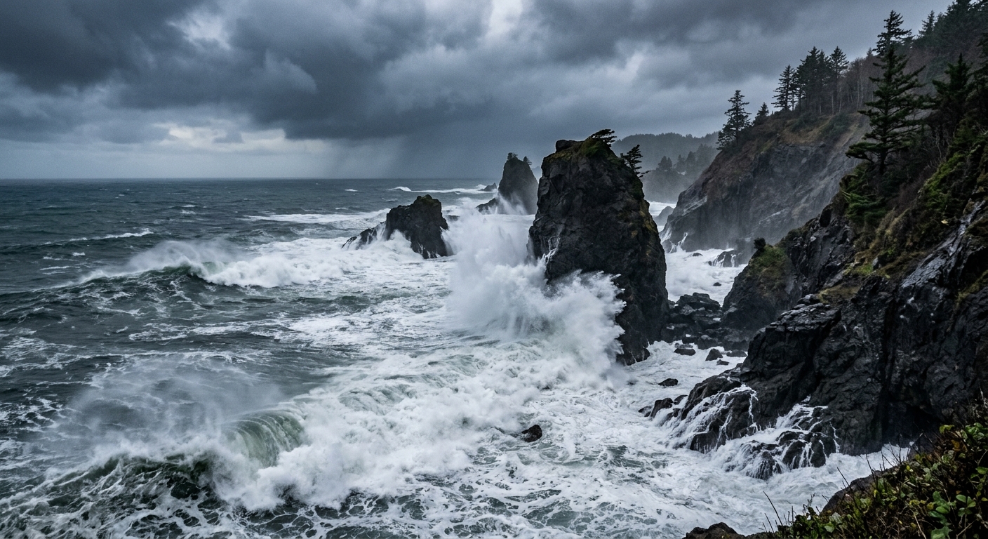
AI-generated illustration; not a photograph of the reported event.
- calendar_today November 14, 2026
High Surf Warnings Issued Along Entire Oregon Coast
The National Weather Service (NWS) has warned that massive waves are poised to impact the entire Oregon coast, with high surf warnings in effect for more than 24 hours. Updated forecasts show that wave heights will reach nearly 30 feet in many areas and even higher farther south, with some sections expected to see waves up to 35 feet.
Details of the Warnings
The NWS began issuing alerts earlier in the week, first for the southern coast, and expanded the high surf warnings to cover the entire coastline by Thursday. The warnings now encompass specific periods and regions:
- Clatsop County Coast: High Surf Warning from noon Friday to noon Saturday, with breaking waves of 30 to 35 feet. A separate Coastal Flood Advisory is in place from noon to 4 p.m. Friday, anticipating minor tidal flooding in low-lying coastal areas.
- Tillamook County Coast: High Surf Warning from noon Friday to noon Saturday, with breaking waves of 30 to 35 feet. A Coastal Flood Advisory from noon to 4 p.m. Friday for minor flooding in vulnerable low-lying areas.
- Central Coast of Oregon: High Surf Warning from noon Friday to noon Saturday. Breaking waves of 30 to 35 feet and dangerous surf conditions are expected.
- South Central Oregon Coast and Curry County Coast: High Surf Warning from 10 a.m. Friday to 10 p.m. Saturday. Waves of 20 to 25 feet Friday morning will build to 30 to 35 feet late Friday afternoon through Saturday morning, subsiding later on Saturday.
Caution Advised for Residents and Visitors
The NWS, in coordination with local organizations, emphasizes that beaches and coastlines will become hazardous due to these very large and life-threatening surf conditions. People are strongly urged to stay off beaches, rocks, jetties, piers, and other waterside structures. The NWS has warned that even foredunes and parking lots close to the surf could be dangerous, especially when the tideline approaches within 20 feet. Higher ground, such as designated viewpoints, parking lots, and streets, are considered safer alternatives for observing the waves.
Possible Hazards and Impacts
Conditions are expected to include extreme sneaker waves, particularly Friday evening and overnight. Minor coastal flooding is likely in low-lying areas, especially during high tides along the north coast. There are also concerns about severe beach erosion, dangerous wave run-up, and impacts to coastal infrastructure, with the potential for logs and other debris to be thrown onto parking lots and roadways adjacent to the surf.
The public is reminded to keep off cliffs that lack solid concrete bases, as rain and storm conditions can undermine their stability. Additionally, warnings note specific access points where seawalls and infrastructure are close to the surf, such as SW 32nd in Lincoln City and Gower St. in Cannon Beach, and recommend extra caution in these areas.
Safety Reminders During High Surf Events
The NWS and local authorities reiterate the importance of maintaining a safe distance from the ocean and avoiding all beaches during the warning period. The risk of sneaker waves and sudden changes in surf conditions can make the shoreline especially dangerous. Staying off driftwood, jetties, and any infrastructure adjacent to the water is crucial for personal safety.
Monitoring Conditions and Further Information
Residents and travelers are encouraged to monitor official weather sources for the latest updates on surf and storm warnings. Caution is paramount during this period of hazardous surf, and all should heed the advice to prioritize coastal safety in the coming days.
Related coverage
Source: beachconnection.net.