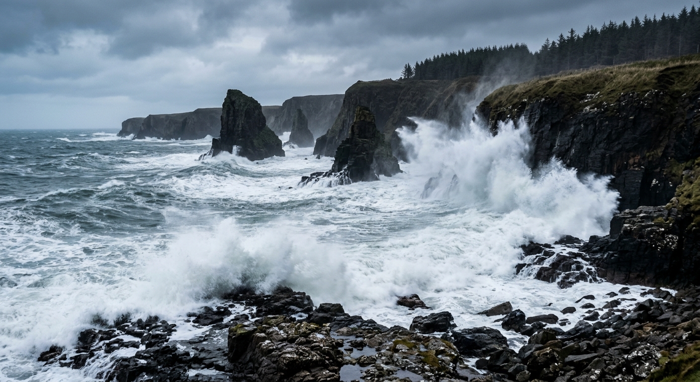
AI-generated illustration; not a photograph of the reported event.
- calendar_today November 15, 2026
Significant Wave Activity Returns to the Pacific Northwest
This week, the Oregon and Washington coasts are expecting a period of severe wave action, with the National Weather Service (NWS) forecasting offshore waves reaching up to 25 feet and onshore surf heights potentially soaring to 35 feet due to long period swells. These conditions are anticipated to create dangerous surf, increase the risk of coastal erosion, and present hazards such as sneaker waves and tidal flooding.
Recent Incidents Highlight Wave Dangers
Over the previous weekend, heavy surf along the Oregon coast led to several close calls, including an incident where a child was momentarily swept by the waves. While some observers expressed skepticism about initial wave forecasts, actual conditions matched the predictions. The upcoming wave event is expected to be larger and more hazardous than the recent surge, prompting calls for increased caution among residents and visitors.
Forecast Details: Wave Heights and Timing
The NWS office in Medford has indicated that a major long-period swell, generated by a storm near the western Aleutians, will reach the coastline late Friday and peak Saturday morning. Guidance points to wave heights offshore around 25 feet at an 18-second period, translating to breaking surf of 30 to 35 feet. This could cause beaches to be completely inundated, and dunes may experience overwash and erosion. The NWS urged those with coastal or marine interests to closely monitor forecasts as the event nears.
On the northern Oregon and southern Washington coasts, the NWS in Portland is projecting slightly lower wave heights but warns that factors such as the ongoing moderate to high threat of sneaker waves could produce equally challenging surf conditions. Swells are projected to build from 10–12 feet at 13–15 seconds to 14–16 feet midweek, with a stronger westerly swell of 20–24 feet forecast for Saturday. Beach inundation and local coastal erosion are likely to increase, especially with water levels reaching 10 to 11 feet above Mean Lower Low Water (MLLW) on Wednesday and Thursday.
Detailed Wave Forecasts by Region
South Coast
- Thursday: Seas 12–14 ft, with southwest waves 4 ft at 6 seconds and west swell 13 ft at 15 seconds.
- Thursday Night: Seas 13–17 ft; southwest waves 13 ft at 10 seconds, west swell 14 ft at 16 seconds.
- Friday: Seas 14–18 ft; south waves 13 ft at 10 seconds and west swell 14 ft at 16 seconds.
- Friday Night: Seas rise to 16–21 ft; south waves 9 ft at 10 seconds, west swell 19 ft at 18 seconds.
- Saturday: Seas 19–23 ft, increasing to 22–23 ft in the afternoon; south waves 11 ft at 12 seconds and west swell 20 ft at 18 seconds.
- Saturday Night: Seas 19–23 ft, subsiding after midnight.
North Coast
- Thursday: Seas 11–14 ft; south waves 3 ft at 5 seconds, west swell 12 ft at 15 seconds.
- Thursday Night: Seas 12–18 ft; south waves 13 ft at 12 seconds, west swell 13 ft at 16 seconds.
- Friday: Seas 16–18 ft; south waves 14 ft at 12 seconds, west swell 13 ft at 16 seconds.
- Friday Night: Seas 16–22 ft after midnight; south waves 12 ft at 11 seconds, west swell 19 ft at 18 seconds.
- Saturday: Seas 20–24 ft; south waves 12 ft at 11 seconds, west swell 22 ft at 18 seconds.
- Saturday Night: Seas 18–21 ft, declining to 16–20 ft after midnight.
Hazards: Sneaker Waves, Tidal Flooding, and Erosion
The long period swell will elevate the threat of sneaker waves throughout the week. Elevated tides and large breaking waves could combine to inundate beaches and cause localized flooding and dune erosion. The NWS advises all coastal visitors to heed posted warnings, remain well back from the surf, and stay off jetties and rocks during these conditions.
Advice for Coastal Residents and Visitors
With surf conditions forecast to become exceptionally hazardous, those along the Oregon and Washington coastlines are encouraged to monitor local National Weather Service updates and wave advisories. Notable surf viewing sites such as Depoe Bay’s Spouting Horn, Coos Bay’s Shore Acres, and Cape Disappointment could see dramatic displays as waves peak, but safety should be the top priority.
Related coverage
Source: beachconnection.net.