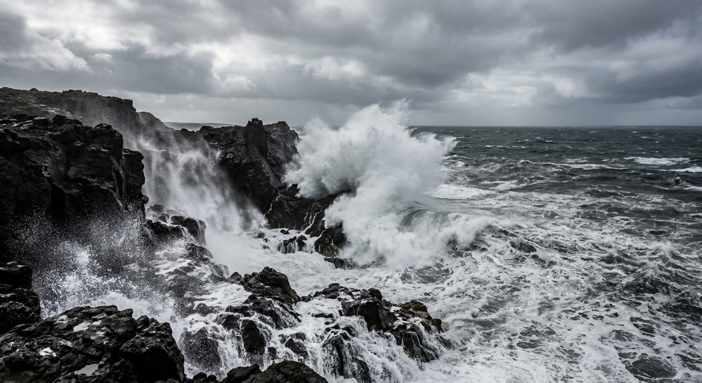
AI-generated illustration; not a photograph of the reported event.
- calendar_today November 9, 2026
Large Waves and Strong Winds to Hit Oregon and Washington Coasts
This weekend, significant coastal storm activity is forecast for both the Oregon and Washington coastlines. The National Weather Service (NWS) has issued a series of advisories, warning of high surf, sneaker waves, and strong winds that could result in hazardous conditions through Sunday.
High Surf Advisory and Beach Hazards
All Pacific Northwest coastal areas are currently under various advisories. The north coast of Oregon and southern Washington beaches are expected to experience some of the most dangerous conditions. In these regions, the NWS is urging the public to avoid some beaches altogether due to the risk of extremely large waves and rapidly changing surf zones.
High surf advisories are in effect for the North & Central Oregon Coast, South Washington Coast, Northern Washington Coast, and Grays Harbor County Coast from 4 a.m. to 10 p.m. Sunday. Breakers of up to 28 feet are predicted in these areas, with the potential for beach erosion, waves washing over rocks, jetties, and shoreline structures. For the South Central Oregon Coast and Curry County Coast, similarly high surf could bring wave heights between 22 and 27 feet.
Sneaker Wave and Beach Hazard Statements
Beach Hazards Statements have also been put in place across multiple stretches of coastline. On the North & Central Oregon Coast and South Washington Coast, warnings of sneaker waves extend through late Saturday night. These waves can surge unexpectedly much farther up the beach than normal, posing a serious risk to those near the water's edge.
For the South Central Oregon Coast and Curry County, the elevated sneaker wave threat is expected to last until 10 p.m. Friday.
Strong Coastal Winds Anticipated
In addition to large surf, a High Wind Watch has been issued from Saturday afternoon through late Saturday night. Clatsop County Coast, Tillamook County Coast, Central Oregon Coast, and South Washington Coast could see sustained winds of 20 to 40 mph, with gusts reaching up to 60 mph. These conditions may lead to downed trees, power outages, and difficult travel, especially for high-profile vehicles.
Wave Watching: Challenges and Opportunities
The storm and high surf will impact popular wave-watching locations such as Shore Acres State Park near Coos Bay and Cape Disappointment in Washington. At Shore Acres, a wave height threshold of 16 feet is typically needed for notable displays; forecasts currently suggest 20 feet or more, with some areas potentially experiencing even higher waves. However, the NWS advises extreme caution or avoidance of beaches and jetties on Sunday. High tides, expected between 11 a.m. and 12 p.m. for the north Oregon coast, could further amplify the hazard.
Safety Guidance for Coastal Visitors
The National Weather Service and local authorities recommend the following safety measures:
- Stay well back from the water's edge and surf zone.
- Keep off jetties, rocks, drift logs, and other shoreline structures.
- Keep children and pets away from the surf.
- Never turn your back on the ocean.
- Avoid entering the water during high surf and sneaker wave events.
- Prepare for possible power outages and secure loose outdoor items ahead of strong winds.
- If someone is swept into the ocean, call 911 and monitor from shore.
Impacts on Local Activities
Some areas of the Washington coast, which are open to clamming, may not be safe for such activities on Sunday due to the anticipated surf and weather conditions. Razor clamming and other recreational activities should be reconsidered until conditions improve.
Wave Height Forecasts and Further Information
To track updated wave height forecasts and weather conditions, visitors can check the official Oregon Coast and Washington Coast weather pages. The NWS emphasizes that the predicted conditions stand the highest chance of causing damage or rapid changes along the coast, especially around the high tide period on Sunday.
Those planning to visit or observe the storm are urged to exercise situational awareness and prioritize safety above all.
Related coverage
Source: beachconnection.net.