- calendar_today October 22, 2026
National Weather Service Issues Sneaker Wave Warning
The National Weather Service (NWS) has issued an elevated sneaker wave threat for the northern Oregon coast and southern Washington coast, effective from Tuesday through Thursday. The warning points to a significant rise in the risk of sneaker waves, a common coastal hazard during the fall and winter months.
Areas Affected by the Elevated Threat
The increased risk includes prominent locations on the upper half of the Oregon coast such as Seaside, Cannon Beach, Manzanita, Rockaway Beach, Pacific City, Lincoln City, Newport, and Yachats. Coastal regions in Washington, stretching from Long Beach to Westport, are also included in the advisory. The NWS urges residents and visitors to take extra precautions in these areas, especially when near the waterline.
Understanding Sneaker Waves and Beach Safety
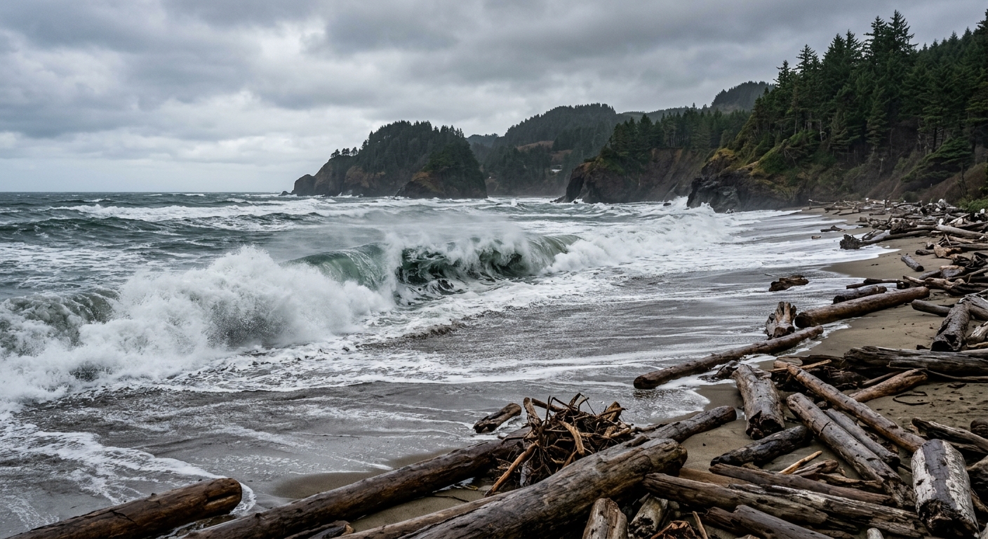
Sneaker waves are large, unexpected surge waves that run up higher on the beach than typical waves, posing a serious beach safety risk. According to the NWS, ocean conditions over the next few days will heighten the risk of water surging further up the shore than anticipated. The agency advises avoiding jetties and logs near the waterline, keeping a safe distance from the surf, and staying off freshly wet sand. These steps are recommended to prevent being caught off-guard by unpredictable surge waves.
Ocean Conditions and Forecast
The main factor contributing to this elevated wave threat is the presence of long period swells. With more time between incoming waves (measured in seconds), energy accumulates, leading to bigger and more powerful sneaker waves. Through Friday, wave heights along the north Oregon coast and southern Washington coast are expected to remain at 7 to 9 feet, driven by a dominant northwest swell of approximately 8 feet at 10 to 11 seconds. Northerly wind waves may add choppiness, but the northwest swell will be the primary force behind these coastal hazards.
Conditions are forecast to ease by Friday night into Saturday, as wave heights drop to 5 to 7 feet with a subsiding northwest swell of about 6 feet. Saturday is projected to be calmer, with manageable seas close to 5 to 6 feet. However, by Saturday night, seas may build back up slightly due to a new west swell and short-period southwest wind waves, creating a mixed and bumpier sea state.
Impacts on the South Oregon Coast
The NWS has not issued any similar elevated sneaker wave warnings for the south Oregon coast. Seas in southern regions remain milder currently, with potential for increased wave activity later in the week, according to current forecasts.
Staying Informed for Beach Safety
Beachgoers are advised to consult updated wave height and swell period predictions for specific coastal locations by using local weather pages. Awareness and adherence to official advisories during periods of elevated coastal hazards can help ensure safety for those visiting or living near the northern Oregon and southern Washington coasts.
Source: beachconnection.net.